England
& Wales Hardwicke Marriage Index
Marriages
1754 - 1837
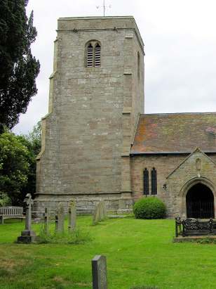
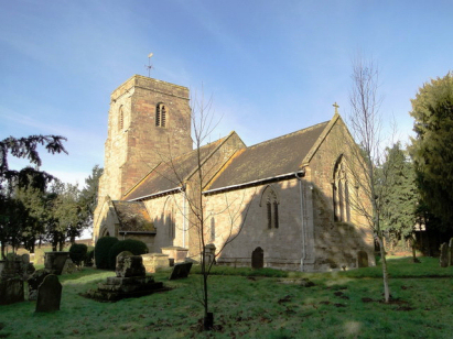
Weston Beggard St John the Baptist
 |
England
& Wales Hardwicke Marriage Index |
The ParishThe parish of Weston Beggard lies in the eastern portion of central Herefordshire, about 5 miles east of the county town of Hereford. Weston Beggard lies in the valley of the River Frome, a tributary of the Lugg, and is sited to the north of the river at the edge of its flood plain. The village lies midway between the A438, which connects Hereford to Ledbury, and the A4103, which leads towards Malvern in Worcestershire, between these two roads a narrow lane winds its way across the river valley through Weston Beggard. The village is sited at about 60 metres above sea level, a 10 metre rise from the river level, and the parish is dominated by pasture land and small fields. The parish is small, less than 1,000 acres and supported around 300 parishioners. In Domesday times the land was owned by Roger de Lacy and supported 11 ploughs and a mill. |
 |
|
|

|
| Register No | Covering Dates | Deposited With | Register Style | Quality Standard | Comments |
| 1 | 6th November 1754 - 5th December 1811 | Herefordshire Archives & Record Centre - Reference - AA9/4 | Plain, ruled book containing combined Banns & Marriages | Grade 1 Register - Few issues noted and a low likelihood of misreads | None |
| 2 | 17th June 1813 - 15th December 1836 | Herefordshire Archives & Record Centre - Reference - AA9/5 | Standard Rose style preprinted and prenumbered Marriage register | Grade 1 Register - Few issues noted and a low likelihood of misreads | None |
|
Withington
St Peter
|
Westhide
St Bartholomew
|
|
 |
||
|
Stoke
Edith St Mary
|
1760 1770 1780 1790 1800 1810 1820 1830
Corrections to Tinstaafl Transcripts