
England
& Wales Hardwicke Marriage Index
Marriages
1754 - 1837
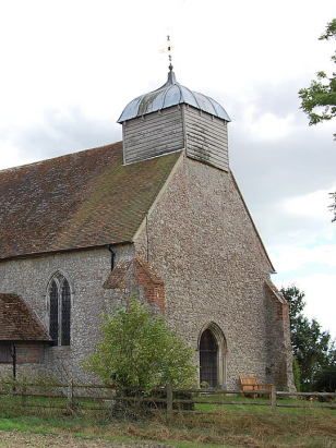
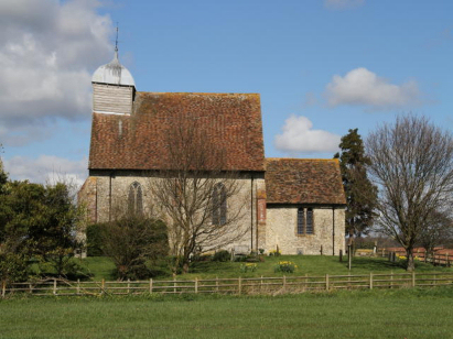
Bonnington St Rumwold
| |
England
& Wales Hardwicke Marriage Index |
The ParishThe parish of Bonnington lies in southeastern Kent not too far from its English Channel coastline. Bonnington is located roughly 7 miles southeast of the industrial town of Ashford and sits a half mile north of the B2067 road which links Tenterden through towards Hythe following the edges of Romney Marsh as it does so. Bonnington is a dispersed village with no real centre, there are farms and cottages dotted across the higher ground north of the marsh over a broad skewed oblong shape. Indeed the only substantial block of settlement marks the former prison site of HMP Bonnington, now closed but with plans to develop for housing. Early gazetteers estimate the parish acreage as being weighted 2:1 in favour of pastoral methods, a fact less noticeable today with modern machinery. Modern developments have come to the parish in the form of a major military defensive feature, the Royal Military Canal formed to deter Napoleonic invasion and to enable rapid movement of troops and ammunition along the northern edges of Romney Marsh. Today it marks the route of the regional hiking trail of the Saxon Shore Way. Whilst Bonnington sits above the marshes it takes little fall for water to join the complex web of man-made channels that drain the marshes largely into outflows such as that at St Mary's Bay. Bonnington is sited at between 30 and 60 metres on rising ground out of the marshes, to its east lies the isolated hillock of Aldington Knoll which tops out at 95 metres as the highest ground around. Covering just short of 1,100 acres Bonnington parish was one of the smaller in its county, that acreage supporting a population of close to 150 parishioners. In Domesday times Bonnington was a holding of Hugh de Montfort and equally rural and small as today, its assets of juts 3 ploughs and a patch of woodland being typical of such rural holdings. |
 |
|
|
|
| Register No | Covering Dates | Deposited With | Register Style | Quality Standard | Comments |
| 1 |
24th August 1755 - 14th November 1812 |
Kent Archives & Local History - Maidstone - Reference
- P34/1/A/2 |
Standard preprinted and self-numbered Marriage register
with 4 entries per page |
Grade 2 Register - not a perfect read but with a low
likelihood of misreads |
None |
| 2 | 9th January 1813 - 2nd February 1835 | Kent Archives & Local History - Maidstone - Reference - P34/1/D/1 | Standard Rose style preprinted and prenumbered Marriage register | Grade 2 Register - not a perfect read but with a low likelihood of misreads | None |
|
Bilsington
St Peter & St Paul
|
||
|
Bilsington
St Peter & St Paul
|
 |
|
|
Newchurch
St Peter & St Paul
|
Newchurch
St Peter & St Paul
|
Burmarsh
All Saints
|
1760 1770 1780 1790 1800 1810 1820 1830
Corrections to Tinstaafl Transcripts