
England
& Wales Hardwicke Marriage Index
Marriages
1754 - 1837
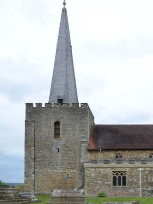
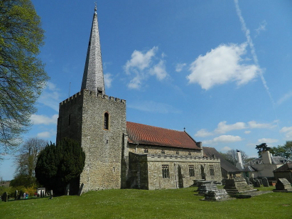
West Malling St Mary
| |
England
& Wales Hardwicke Marriage Index |
The ParishThe parish of West Malling lies in the western portion of central Kent roughly 6 miles west of the administrative centre of Maidstone. West Malling formerly sat on the route of the A228 road linking Rochester with Tonbridge, thankfully that road now passes by to the east as a bypass leaving the small town quieter. West Malling is a declined market town and monastic centre, the Abbey came first being founded in 1090 for the Benedictine order, soon after in 1105 West Malling was granted the right o hold a market. Whilst that status has fallen into disuse due to competition from others nearby, the broad High Street is a legacy of that function. The heart of old West Malling is the former route of the A228 from its crossroads with the A20 southwards to the parish church, a side branch led eastwards to the Abbey. In recent times the town has expanded westwards the area being know simply as "New Town". The Abbey, of course, fell fowl of Henry VIII and was dissolved leaving an attractive ruin, in 1916 the nuns returned to West Malling and a new Abbey church has been created within those grounds. It takes only a glance at modern Ordnance Survey mapping to see the spotted light-green shapes of orchards, West Malling sits in the heart of the Kentish fruit growing area and apples, pears, cherries and a host of other fruit abounded. Whilst not as prevalent today as further west the wider parish contained substantial woodland with early gazetteers estimating over 40% of the parish acreage as set to managed woodland. Whilst West Malling may have lost its market function its status has been boosted in more modern times due to the arrival, firstly, of the railway line connecting its station directly to London making West Malling attractive for commuters. In addition the new dual-carriageway of the A228 connects West Malling to the modern M20 motorway giving the town excellent communications. West Malling is drained northwards by a small stream which makes its way through a maze of flooded gravel pits to join the Medway for its last few miles through Rochester & Chatham to the outer Thames Estuary and the North Sea. West Malling is sited at around 50 metres above the sea, land rises steadily southwestwards exceeding the 140 metres contour between West Malling and Tonbridge whilst to the northwest looms the escarpment of the North Downs. West Malling parish was quite small for its importance, covering just under 1,400 acres it would nevertheless have supported a population of close to 1,800 parishioners. In Domesday times West Malling was recorded in combination with its smaller eastern neighbour, their combined households taking the joint settlement into the largest 20% by population. There are two landholders, the Archbishop of Canterbury & the Bishop of Rochester, it is tempting to associate the latter with West Malling as he was responsible for the foundation of the Abbey, that manor's assets being smaller do raise a question-mark, however. Combined there were 11 ploughs, meadows & extensive pig-filled woodland and 3 mills. |
 |
|
|
|
| Register No | Covering Dates | Deposited With | Register Style | Quality Standard | Comments |
| 1 |
11th August 1754 - 7th May 1814 |
Kent Archives & Local History - Reference - P243/1/A/2 |
Standard preprinted and self-numbered Marriage register
with 4 entries per page |
Grade 2 Register - not a perfect read but with a low
likelihood of misreads |
None |
| 2 | 31st July 1814 - 2nd December 1836 | Kent Archives & Local History - Reference - P243/1/D/1 | Standard Rose style preprinted and prenumbered Marriage register | Grade 2 Register - not a perfect read but with a low likelihood of
misreads |
None |
|
Offham
St Michael
|
Ryarsh
St Martin
Leybourne St Peter & St Paul |
Leybourne
St Peter & St Paul
|
 |
East
Malling St James
|
|
|
Wateringbury St John the
Baptist
|
Wateringbury
St John the Baptist
|
1760 1770 1780 1790 1800 1810 1820 1830
Corrections to Tinstaafl Transcripts