
England &
Wales Hardwicke Marriage Index
Marriages 1754 - 1837
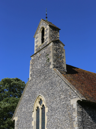
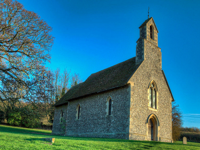
Milton
St Nicholas
|
|
England &
Wales Hardwicke Marriage Index |
The ParishThe parish of Milton lies in eastern Kent about 2 1/2 miles southwest of the city of Canterbury. Milton sits on the A28 road which connects Canterbury with Ashford on the eastern banks of the River Stour. Milton was largely a farming community at the time of this transcript but today it is dominated by industrial estates and gravel pits, a suburban area of the nearby city. The Stour drains the parish northeastwards through Canterbury to reach the North Sea through the port of Sandwich. Milton is sited at around 10 metres above the sea in its valley setting, within a mile or so land rises to the south to around 100 metres in gently rolling countryside. Milton parish was one of the smallest in Kent, it covered barely 300 acres and supported a population of just 10 to 20 parishioners. In Domesday times Milton was recorded under the name of nearby Horton and was one of many parishes held by Bishop Odo of Bayeux, it could offer just a single plough, a 100 acre wood but did possess 2 mills. |
 |
|
|
|
| Register No | Covering Dates | Deposited With | Register Style | Quality Standard | Comments |
| 1 | 15th January 1761 - 17th February 1825 | Canterbury Cathedral Archives - Reference - U3/126/1/20 | Plain, ruled book, a continuation of the extant composite register in contravention of Hardwicke's segregation & wording requirements | Grade 2 Register - not a perfect read but with a low likelihood of misreads | None |
| 2 | 30th March 1826 | Canterbury Cathedral Archives - Reference - U3/126/1/21 | Standard Rose style preprinted and prenumbered Marriage register | Grade 2 Register - not a perfect read but with a low likelihood of misreads | None |
|
Chartham
St Mary
|
Thanington
St Nicholas
|
Thanington
St Nicholas
|
|
Chartham St
Mary
|
 |
Thanington
St Nicholas
|
|
Chartham
St Mary
|
Chartham St
Mary
|
Chartham
St Mary
|
Corrections to Tinstaafl Transcripts