
England
& Wales Hardwicke Marriage Index
Marriages
1754 - 1837
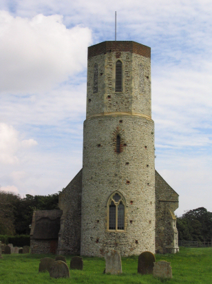
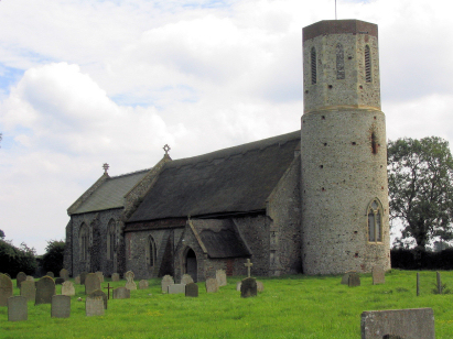
West Somerton St Mary
| |
England
& Wales Hardwicke Marriage Index |
The ParishThe parish of West Somerton lies in the extreme east of Norfolk not too far from its eastern North Sea coast. West Somerton is located roughly 5 miles north of the port & coastal resort of Great Yarmouth and sits in an area markedly devoid of significantly numbered roads, the closest such road being the A149 (Great Yarmouth to North Walsham & Cromer) which sits almost 4 miles to West Somerton's southwest. West Somerton is a small loosely structured village which sits on the former northern shore of what, in Roman times, was the island of Flegg, today with marshland infilling around it a mere "island" of slightly higher land above sea level. West Somerton would have had a rather diverse economy for Norfolk with early gazetteers estimating 45% of the parish acreage set to pasture, its location, on the edge of Martham Broad, also gave the parish access to reed thatch harvesting, wildfowling and its staithe (a Norfolk term for a landing stage) on the headwaters of the River Thurne gave it access to river-based transport of agricultural produce. Today the area is a widlife haven with cranes, harriers and geese drawing enthusiasts especially to winter roosts. The River Thurne, rising less than 2 miles from the North Sea rather perversely drains the parish westwards, joining the Bure and the remainder of Norfolk's Broadland rivers to exit to the North Sea through Great Yarmouth. West Somerton is sited at between 1 & 10 metres above the sea, the land is rather low-lying for many miles with local high spots of just over 20 metres. Even by Norfolk standards West Somerton parish was on the small side, covering barely 1,200 acres it would have supported a population of around 250 parishioners. In Domesday times West Somerton was recorded together with its defunct eastern neighbour, East Somerton, and was shared by no fewer than 4 landholders, including King William, himself, its assets totalled 17 ploughs, the usual meadows but also included 3 salthouses reflecting its coastal nature. |
 |
|
|
|
| Register No | Covering Dates | Deposited With | Register Style | Quality Standard | Comments |
| 1 |
2nd June 1755 - 6th May 1811 |
Norfolk Record Office - Reference - PD587/3 |
Standard preprinted and self-numbered Marriage register
with 3 entries per page |
Grade 3 Register - there are sufficient quality issues
with this register to indicate that some misreads will occur
albeit few in number |
Fading of this register may result in one or two misreads |
| 2 | 23rd February 1813 - 2nd February 1836 | Norfolk Record Office - Reference - PD587/4 | Standard Rose style preprinted and prenumbered Marriage register | Grade 2 Register - not a perfect read but with a low likelihood of misreads | None |
|
Martham
St Mary
|
 |
Winterton
Holy Trinity & All Saints
|
|
Martham
St Mary
|
Hemsby
St Mary
|
Hemsby
St Mary
|
1760 1770 1780 1790 1800 1810 1820 1830
Corrections to Tinstaafl Transcripts