
England
& Wales Hardwicke Marriage Index
Marriages
1754 - 1837
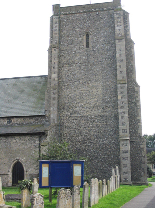
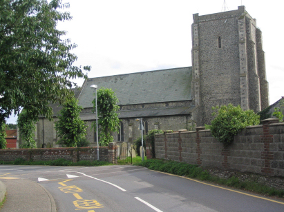
Stalham St Mary
| |
England
& Wales Hardwicke Marriage Index |
The ParishThe parish of Stalham lies in northeastern Norfolk not too far from its eastern North Sea coastline. Stalham is located roughly 14 miles northeast of the city of Norwich and 7 miles southeast of the market town of North Walsham. Stalham is a small market town, grown from village status in recent times, which sits on the former route of the A149 road which connects the port of Great Yarmouth, through North Walsham to the resort of Cromer and which nowadays follows a bypass along the former route of the Midland & Great Northern Railway Line. Stalham has a distinct centre around a crossroads on the former A149 and has properties lining that former route both to north and south, much modern development has expanded the small town especially to its north. Stalham's prosperity came because of its position on the River Ant, one of Norfolk's Broadland waterways, the staithe which runs from river to town and provides wharfage gave Stalham the means to engage in the transportation of local agricultural & weaving products through to internal markets such as Norwich and by means of Great Yarmouth to wider national and international markets. This trade, utilising the iconic wherries, supplemented the arable farming and traditional exploitation of the Broadland reed-beds that would have underpinned Stalham's economy. Modern developments, the M&GN rail line, as described above, have come and gone from the town. The Ant drains the parish southwards, meeting the Bure to the east of Horning and thence to the port of Great Yarmouth and the North Sea. Stalham is sited at below 10 metres above the sea in gentle terrain where a 10 metre contour lies over 3 miles away beyond the course of the Ant to the west. Stalham parish was small, as were most Norfolk Broadland parishes, covering close to 1,600 acres it would have supported a population of around 700 parishioners. In Domesday times Stalham was already a substantial settlement, one of the largest 20% by population, held by Count Alan of Brittany it could offer 14 ploughs, the usual meadows & woodland and an impressive array of animals was recorded down to a pair of bee-hives. |
 |
|
|
|
| Register No | Covering Dates | Deposited With | Register Style | Quality Standard | Comments |
| 1 |
14th May 1754 - 14th December 1812 |
Norfolk Record Office - Reference - PD262/6 |
Standard preprinted and self-numbered Marriage register
with 3 entries per page |
Grade 2 Register - not a perfect read but with a low
likelihood of misreads |
None |
| 2 | 8th March 1813 - 12th October 1836 | Norfolk Record Office - Reference - PD262/7 | Standard Rose style preprinted and prenumbered Marriage register | Grade 2 Register - not a perfect read but with a low likelihood of misreads | None |
|
Ingham
Holy Trinity
|
||
 |
Ingham
Holy Trinity
Sutton St Michael |
|
|
Smallburgh
St Peter
|
Barton
Turf St Michael & All Angels
Sutton St Michael |
Sutton
St Michael
|
1760 1770 1780 1790 1800 1810 1820 1830
Corrections to Tinstaafl Transcripts