England &
Wales Hardwicke Marriage Index
Marriages 1754 - 1837
Langdale
Holy Trinity

|
England &
Wales Hardwicke Marriage Index |
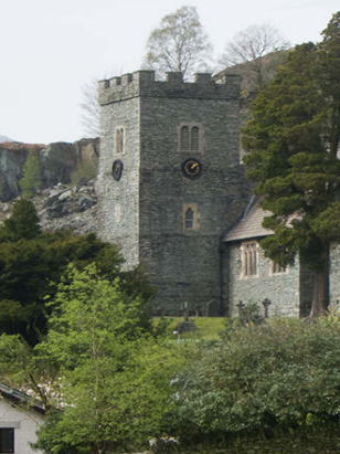
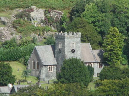
The ParishThe parish of Langdale was licensed for marriages for only a short time during the period of this transcript, prior to that it was a chapelry of Grasmere parish. Langdale is situated in the extreme west of Westmorland, indeed it forms not only the border with neighbouring Lancashire but also with Cumberland the three counties meeting on Wrynose Pass at the "Three Shire Stone". Langdale, or more correctly Great Langdale is sited about 5 miles west of Ambleside on the B5343 road which runs down the valley from Skelwith Bridge to the Old Dungeon Ghyll. Chapel Stile forms the main settlement and is also the site of Holy Trinity church. At the time of this transcript Langdale would have earned its living largely from upland sheep farming supplemented by slate working; today Langdale is very much at the heart of the Lake District hiking & climbing industry a base and starting point for walks tackling the highest peaks in the area. Langdale is drained by Great Langdale beck which heads eastwards to join the Brathay at Skelwith Bridge before entering Lake Windermere, leaving as the Leven to reach the Irish Sea through Morecambe Bay. Langdale is sited at around 110 metres above the sea but this is hill country indeed and fells rise all around reaching a high point on Bowfell at 902 metres. The parish of Langdale covered an extensive area, at 9,500 acres it would have supported a population of around 300 parishioners. There is no mention of Langdale in Domesday Book which did not cover this area of the country. |
 |
|
|

|
| Register No | Covering Dates | Deposited With | Register Style | Quality Standard | Comments |
| 1 | 6th May 1835 - 24th May 1836 | Cumbria Archives - Kendal - Reference - WPR 96/1/2 |
Nonstandard Rose style preprinted Marriage register, it is nonstandard in not being pre-stamped with its numbering that being left to the clerk to complete | Grade 1 Register - Few issues noted and a low likelihood of misreads | None |
|
Crosthwaite
St Kentigern, Cumberland
|
Crosthwaite
St Kentigern, Cumberland
Grasmere St Oswald |
Grasmere
St Oswald
|
|
Ulpha St John,
Cumberland
|
 |
Grasmere St
Oswald
|
|
Ulpha
St John, Cumberland
|
Coniston St
Andrew, Lancashire
Ulverston St Mary, Lancashire |
Grasmere
St Oswald
Hawkshead St Michael, Lancashire |
Corrections to Tinstaafl Transcripts