
Irstead St Michael
| |
1813 to 1880 Baptism Project Irstead St Michael |
Baptisms 1813 to 1880
|
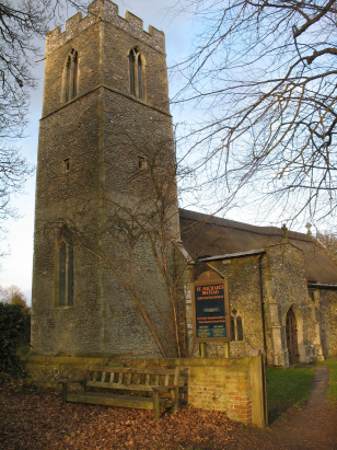
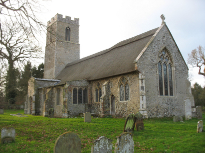
The parish of Irstead lies in eastern Norfolk about 3
miles south of the small market town of Stalham. Irstead is a rather small
village, lacking most amenities, sitting on the western banks of the River
Ant where it leaves Barton Broad. Irstead is located about 2 miles east
of the A1151 which connects Wroxham with Stalham and is accessed by its
own dead-end lane, this is quite an isolated community for Norfolk. Irstead's
economy would have been based around agriculture but good farmland was
only a small proportion of the area of the parish, much was marshland
and indeed Barton Broad. This watery location lead to employment in wildfowling,
reed collection and transport along the navigable waters of Norfolk's
Broadland. Irstead parish was a typically small Norfolk Broadland parish,
it covered just over 1,000 acres but 120 of these was occupied by its
share of Barton Broad, it would, however, have supported a population
of around 150 parishioners. |
 |
 |
|
| A single standard 800-entry register covers not only the period of this transcript but runs on to completion in 1976. This register is filmed on microfiche 5 in the collection of Norfolk Record Office. Images of this register are, however, also available to view on Familysearch and for those with a subscription Ancestry and they were used in preference to complete this transcript making for a straightforward piece to prepare. |
Back 1820 1830 1840 1850 1860 1870 1880
Back 1820 1830 1840 1850 1860 1870 1880
Corrections to Tinstaafl Transcripts