
Kilverstone St Andrew
| |
1813 to 1880 Baptism Project Kilverstone St Andrew |
Baptisms 1813 to 1880
|
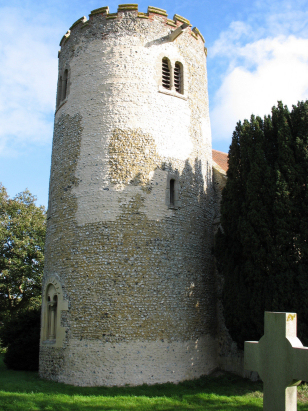
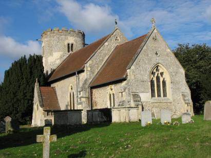
The parish of Kilverstone lies in southwestern Norfolk
on the border with neighbouring Suffolk. Kilverstone lies about 2 miles
northeast of the market town of Thetford and just east of the former route
of the A11 road which connects Thetford with Norwich. There's very little
to Kilverstone except its eponymous Hall and a lot of forestry land. The
parish is located on the poor soils of Norfolk's Breckland and these were
unsuitable for arable agriculture, the parish does possess some better
soils in the flood plain of the River Thet which forms its southern boundary
and these would have been used for cattle. The majority of the land, at
the time of this transcript, would have been left to sheep run or warrenries.
The parish was sparsely populated and this has not changed much although
Thetford is today creeping ever closer. |
 |
 |
|
| A single standard 800-entry register covers not only the period of this transcript but, indicative of the low population, also runs onwards to the late 20th century. This register is filmed on Microfilm MF1681 in the collection of the Norfolk Record Office which was used to prepare this transcript. The film is one of the recent ones and benefits from the improved techniques available today. The images are crisp and clear, a definite boon when at times the register is rather scruffily kept. As a result this was a straightforward piece to prepare and it is hoped few errors will have crept in. |
Back 1820 1830 1840 1850 1860 1870 1880
Back 1820 1830 1840 1850 1860 1870 1880
Corrections to Tinstaafl Transcripts