
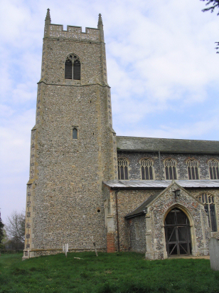
Sparham St Mary
|
|
1813 to 1880 Baptism Project Sparham St Mary |
Baptisms 1813 to 1880
|
The parish of Sparham lies in the northeastern
portion of central Norfolk roughly 3 miles southwest of the
small market town of Reepham. Sparham sits just
north of the A1067 road which links the city of Norwich with the
town of Fakenham. The village almost sits within a cul-de-sac,
its main access lane loops away from the A1067, passes through
the main part of the village before rejoining further west, the
only other exit is a narrow northeastward running lane towards
Whitwell. Most of the village's properties line that looping
main access road or the Whitwell Road. Like most Norfolk
parishes Sparham is an arable farming village, early gazetteers
estimate as much as 70% of the parish acreage as set to arable
cropping with a tiny portion as pastures, the percentage today
is remarkably similar. Sparham sits on a narrow ridge of land
separating the Wensum valley, where its pastures lie, from the
shallow valley of its tributary, the Blackwater. |
 |
 |
|
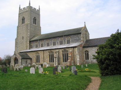
| A single standard 800-entry register book
covers the period of this transcript running onwards to completion
in 1911. This register is filmed on Microfilm MF578 in the
collection of Norfolk Record Office. This film is one of the
earliest such microfilms and lacks the qualities of more recent
work. Thankfully digitised imagery is available online, free to
view on Familysearch and for those with appropriate subscriptions
on all of the major commercial sites. As a consequence of this
wealth of resources this was a straightforward piece to prepare. |
Back 1820 1830 1840 1850 1860 1870 1880
Back 1820 1830
1840 1850 1860
1870 1880
Corrections to Tinstaafl
Transcripts