
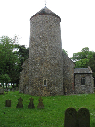
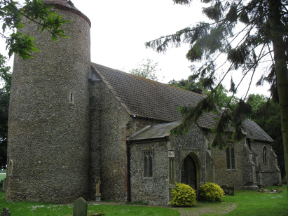
Welborne All Saints
| |
1813 to 1880 Baptism Project Welborne All Saints |
Baptisms 1813 to 1880
|
The parish of Welborne lies in central Norfolk about 6
miles southeast of the market town of East Dereham. Welborne sits in lanes
about 2 miles south of the A47 road which crosses Norfolk from King's
Lynn to Norwich. There is not much to Welborne, just a strip of properties
along an east to west running lane with the church at its eastern ended
junction. Welborne sits on a broad plateau of land sitting at a height
of roughly 45 metres above sea level which forms a tongue of land between
the valleys of the Yare, to the south, and the Tud, to the north. The
area is almost totally used for arable agriculture with beet, cereals
and oil seed dominating the cropping. Welborne parish is another of the
tiny parishes which dominate Norfolk, it covered less than 750 acres and
is almost an adjunct to its larger neighbours (Mattishall & East Tuddenham). |
 |
 |
|
| A single standard 800-entry register book covers the period of this transcript and runs onwards to finish during the late 20th century. This register is filmed on Microfilm MF595 in the collection of Norfolk Record Office which was used to prepare this transcript. The film is adequate to the task although at times the register becomes a little erratic clerically with marginal entries as well as out-of-date-sequence entries and a few omissions of part of the dates. The handwriting was mostly acceptable and it is hoped that few misreads will have occurred as a result. |
Back 1820 1830 1840 1850 1860 1870 1880
Back 1820 1830 1840 1850 1860 1870 1880
Corrections to Tinstaafl Transcripts