
England
& Wales Hardwicke Marriage Index
Marriages
1754 - 1837
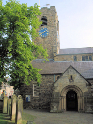
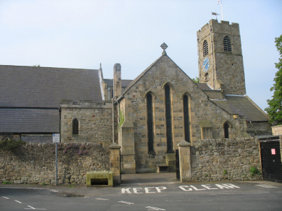
Corbridge St Andrew
| |
England
& Wales Hardwicke Marriage Index |
The ParishThe parish of Corbridge lies in southern Northumberland not too far from its border with neighbouring County Durham. Corbridge is located roughly 4 miles east of the market town of Hexham and sits immediately south of the A69 road which links Carlisle with Newcastle upon Tyne. Corbridge , itself, is a small market town complete with market cross at its centre, rather surprising given the close proximity of its larger neighbour. Fairs granted in early medieval times have lapsed, however. Corbridge parish is wide in its extent and incorporated the chapelry at Halton which was licensed for marriages and will have its own page within this project, in addition the wider parish included the townships of Aydon, Aydon-Castle, Clarewood, Corbridge, Dilston, Halton-Shields, Thornborough, and Great and Little Whittington such that less than 2/3rds of the parish population actually lived in Corbridge, itself. Corbridge sits on the banks of the River Tyne, its course traversed by an ancient arched bridge of the 17th century. Besides pastoral farming on the rich pastures adjacent to the river, some cereals typically oats were grown and coal, limestone and lead were extracted as major employers, the clays of the area were also suitable not only for bricks but also for earthenware which took place on a small scale. Today Corbridge remains a small market town with all facilities available and also it is a tourism centre with its Roman remains a major draw, a 3rd century garrison town forms the ultimate predecessor to today's town. Modern developments have come to Corbridge, the Carlisle to Newcastle upon Tyne railway line passing through and granting Corbridge a station, albeit south of the Tyne, whilst the A69, which formerly passed through the town, is nowadays a busy dual carriageway highway across northern England. The Tyne drains the parish eastwards the short distance through the port of Newcastle upon Tyne to the North Sea. Corbridge is sited at on a rising valleyside site, at around 40 metres by the river the northeastern suburbs rise to above 100 metres whilst to the north the iconic Hardrian's Wall reaches 258 metres at Milecastle 23. As already mentioned the wider parish was extremely extensive, covering just over 13,000 acres and stretching for 8 miles from north to south, within this extensive area it would have supported a population of around 2,100 parishioners. North of the River Tees Norman influence is negligible and like most of this area Corbridge is not mentioned in Domesday Book. |
, |
|
|
|
| Register No | Covering Dates | Deposited With | Register Style | Quality Standard | Comments |
| 1 |
12th May 1754 - 13th November 1798 |
Northumberland Archives - Reference - EP57/7 |
Plain, ruled & margined book containing combined Banns
& Marriages |
Grade 2 Register - not a perfect read but with a low
likelihood of misreads |
None |
| 2 | 3rd January 1799 - 28th November 1812 | Northumberland Archives - Reference - EP57/8 | Plain, unruled book containing combined Banns & Marriages | Grade 3 Register - there are sufficient quality issues with this register to indicate that some misreads will occur albeit few in number | Fading sporadically within this register may result in one or two misreads |
| 3 | 21st January 1813 - 8th June 1837 | Northumberland Archives - Reference - EP57/9 | Standard Rose style preprinted and prenumbered Marriage register | Grade 2 Register - not a perfect read but with a low likelihood of
misreads |
None |
|
St
John Lee St John of Beverley
|
Halton
St Oswald, St Cuthbert and King Alfwald
Stamfordham St Mary |
Stamfordham
St Mary
|
 |
Bywell
St Peter
|
|
|
Slaley
St Mary
|
Bywell
St Andrew
|
1760 1770 1780 1790 1800 1810 1820 1830
Corrections to Tinstaafl Transcripts