
England
& Wales Hardwicke Marriage Index
Marriages
1754 - 1837
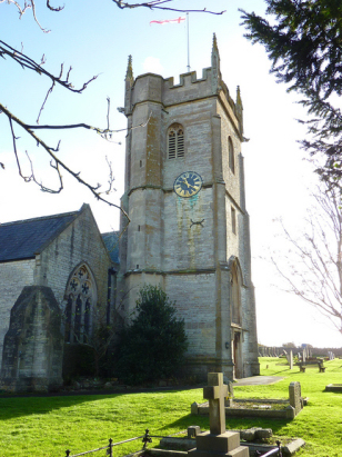
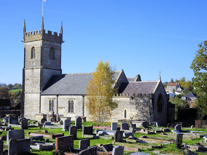
Farmborough All Saints
| |
England
& Wales Hardwicke Marriage Index |
The ParishThe parish of Farmborough lies in northern Somerset roughly 7 miles southwest of the city of Bath. Farmborough stands on and mostly south of the A39 road which links Bath with Wells. Farmborough has a triangular shape, the course of the A39 forming one side whilst everything else is contained within a dense network of lanes lying south of that road. The centre of the village is the line of the Conygre Brook whilst properties rise gently up the valley sides either side from that stream. Early gazetteers describe the parish as mainly pastoral, that may well be true but the parish also sat on the edges of the small Somerset coal-field and many men would have tramped to nearby Clutton to work in those mines. Farmborough is drained eastwards by the Conygre Brook which meets other similar streams before turning northwards to reach the Avon on the very western edges of the urban fringe of Bath, the Avon, of course, eventually meets the Bristol Channel after passing below the Avon Gorge Bridge. Farmborough sits in hilly country north of the Mendips, the village sits at between 110 and 120 metres above the sea, to its south looms The Sleight topping out at 197 metres whilst westward both Blackberry and Barrow Hills reach 207 metres in strongly rolling countryside. Farmborough parish was fairly typically sized for its area covering just under 1,500 acres which would have supported a population quoted in gazetteers as around 1,150 parishioners, it must be said, however, that the volume of marriages recorded is much lower than would be predicted by a population of that size and indicative of only 600 or so. Domesday Farmborough was held by Bishop Geoffrey of Coutances and was a typical rural farming settlement offering just 6 ploughs backed by meadows and pastures. |
 |
|
|
|
| Register No | Covering Dates | Deposited With | Register Style | Quality Standard | Comments |
| 1 |
15th April 1754 - 25th December 1812 |
Somerset Archives & Local Studies - Reference -
D/P/farm/2/1/3 |
Standard preprinted and self-numbered combined Banns &
Marriage register with 3 entries per page |
Grade 2 Register - not a perfect read but with a low
likelihood of misreads |
None |
| 2 | 4th July 1813 - 5th June 1837 | Somerset Archives & Local Studies - Reference - D/P/farm/2/1/7 | Standard Rose style preprinted and prenumbered Marriage register | Grade 2 Register - not a perfect read but with a low likelihood of
misreads |
None |
|
Priston
St Luke
|
||
|
Clutton
St Augustine
|
 |
Priston
St Luke
|
|
Clutton
St Augustine
|
High
Littleton Holy Trinity
Timsbury St Mary |
Timsbury
St Mary
|
1760 1770 1780 1790 1800 1810 1820 1830
Corrections to Tinstaafl Transcripts