
England
& Wales Hardwicke Marriage Index
Marriages
1754 - 1837
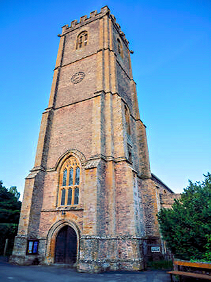
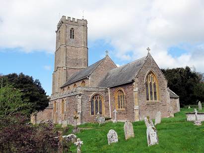
West Monkton St Augustine
| |
England
& Wales Hardwicke Marriage Index |
The ParishThe parish of West Monkton lies in western central Somerset roughly 3 1/2 miles northeast of the town of Taunton. West Monkton sits about a half mile north of the A38 road which links Taunton with Bridgwater. West Monkton is a substantial village sitting at the foot of ground rising into the Quantock Hills from the Tone Valley's plains. Most of the village's properties line two parallel lanes running northwards from the A38. Closer to Taunton and sitting on the A3259 lies the relatively modern settlement of Monkton Heathfield which has surpassed its earlier mother parish, growth has made it almost contiguous with Taunton for which it acts as a suburb. A glance at the Ordnance Survey mapping shows the characteristic green speckling of orchards, Somerset is famous for its cider and that is certainly grown today and probably in the past within West Monkton parish. The farming was a mixture of said orchards and pastoral fields, in addition some extensive quarries for the stone beneath the Quantocks were opened exploited for local building stone and road mending. Modern developments have come to the parish, the modern M5 motorway carves its way south from Bristol to Exeter passing through the eastern portion of West Monkton parish. The earlier Bridgwater & Taunton Canal skirts the southern edges of Monkton Heathfield too. West Monkton is drained southwards by a series of small streams, including Allen's Brook, the short distance to meet the Tone which turns water eastwards to meet the Parrett, the latter passes through Bridgwater to the outer Bristol Channel. West Monkton is sited at around 70 metres above the sea but the Quantocks rise at its back quickly reaching 205 metres on nearby Cheddon Down. By the standards of its area West Monkton parish was towards the largest, covering just under 3,100 acres it would have supported a population of around 1,150 parishioners. Even by Domesday times West Monkton with 56 households was a large village of sufficient size as to be placed in the top 20% by population, held by Glastonbury Abbey its assets of 16 ploughs backed by meadows, pastures and woodland were indicative of a large farming community. |
 |
|
|
|
| Register No | Covering Dates | Deposited With | Register Style | Quality Standard | Comments |
| 1 |
20th July 1754 - 6th December 1812 |
Somerset Archives & Local Studies - Reference -
D/P/west.m/2/1/2 |
Standard preprinted and self-numbered Marriage register
with 4 entries per page |
Grade 2 Register - not a perfect read but with a low
likelihood of misreads |
None |
| 2 | 11th February 1813 - 1st June 1837 | Somerset Archives & Local Studies - Reference - D/P/west.m/2/1/8 | Standard Rose style preprinted and prenumbered Marriage register | Grade 2 Register - not a perfect read but with a low likelihood of
misreads |
None |
|
Broomfield
All Saints
|
North
Petherton St Mary
|
|
 |
Creech
St Michael
|
|
|
Taunton
St Mary Magdalene
|
Taunton
St Mary Magdalene
|
1760 1770 1780 1790 1800 1810 1820 1830
Corrections to Tinstaafl Transcripts