
England
& Wales Hardwicke Marriage Index
Marriages
1754 - 1837
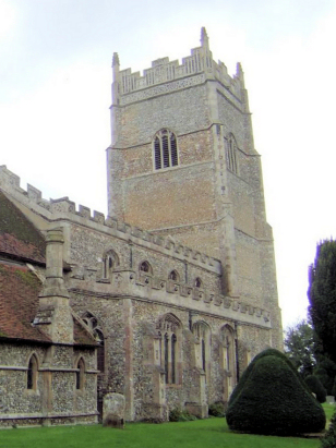
Rougham St Mary
| |
England
& Wales Hardwicke Marriage Index |
The ParishThe parish of Rougham lies in the northwestern portion of central Suffolk roughly 4 miles southeast of the town of Bury St Edmunds. Rougham sits either side of the busy A14 road which links the east coast ports of Harwich & Felixstowe with the main motorway network. Rougham is a large parish with a distributed series of settlements, from north to south we have firstly the estate of Rougham Park, the location of the now-demolished Rougham Hall, immediately south of the A14 there is the hamlet of Blackthorpe, next the church stands in isolation, then the main settlements of Rougham village, Rougham Green, High Rougham and Kingshall Street between them holding the majority of the population. These nucleated dispersed settlements are often found when former forest clearances are united into a village. Today the woodland remains in the northernmost areas of the parish, the remainder being rich arable farmland typical of its county. Modern developments have come to the parish, the A14 now being a very bust fast dual-carriageway taking untold number of freight wagons off the local roads. Rougham is drained northwestwards by a small tributary of the River Lark which is joined on the outskirts of Bury, the Lark eventually heads out into Fenland where it joins the Great Ouse for its final northward journey to the North Sea arriving through King's Lynn and The Wash. Rougham gradually rises in height from north to south, over its 1 1/2 miles rising steadily from 50 to 70 metres above the sea, land continues gently rising southwards touching 90 metres in a few spots. By Suffolk standards Rougham parish was a large parish covering just over 3,900 acres, perhaps 3x the normal size for its area, that extensive acreage would have supported a population of around 950 parishioners. A similar situation is recorded in Domesday times where Rougham with 127 households was over half the size of nearby Bury St Edmunds, held by Bury Abbey its assets of just 23 ploughs and a small meadow do not concur with that volume of households or the sizes of the two settlements today. |
 |
|
|
|
| Register No | Covering Dates | Deposited With | Register Style | Quality Standard | Comments |
| 1 |
5th August 1754 - 5th October 1797 |
Suffolk Record Office - Reference - FL619/4/1/3/1 |
Plain, ruled & bordered book containing combined Banns
& Marriages |
Grade 4 Register - there are notable quality issues with
this register which may have resulted in many misreads |
This register is badly faded and verging on unreadable in
places, the lack of "white-space" between entries also makes for a
slow and trying read, there is a possibility of accidental
omission and a likelihood of quite a few misreads |
| 2 | 23rd November 1797 - 8th December 1812 | Suffolk Record Office - Reference - FL619/4/1/3/2 | Standard preprinted and self-numbered Marriage register with 4 entries per page | Grade 2 Register - not a perfect read but with a low likelihood of
misreads |
None |
| 3 | 9th January 1813 - 21st February 1837 | Suffolk Record Office - Reference - FL619/4/1/3/3 | Standard Rose style preprinted and prenumbered Marriage register | Grade 2 Register - not a perfect read but with a low likelihood of
misreads |
None |
|
Bury
St Edmunds St James
|
Great
Barton Holy Innocents
|
|
|
Bury St
Edmunds St Mary
Rushbrooke St Nicholas |
 |
|
|
Rushbrooke
St Nicholas
|
Bradfield
St George
|
1760 1770 1780 1790 1800 1810 1820 1830
Corrections to Tinstaafl Transcripts