
England
& Wales Hardwicke Marriage Index
Marriages
1754 - 1837
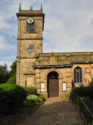
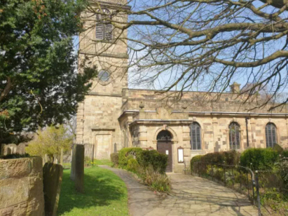
Chapel en le Frith St Thomas a Becket
| |
England
& Wales Hardwicke Marriage Index |
The ParishThe parish of Chapel en le Frith, the phrase is an early English equivalent of "in the forest", a reference to the former Royal hunting forest of Peak Forest, sits in the extreme northwest of Derbyshire roughly 6 miles north of the spa town of Buxton. Chapel en le Frith formerly sat on the route of the A6 road which connected Derby through to both Stockport and Manchester, that road now bypasses the town to the east and north. Chapel en le Frith is a market town, albeit one much diminished, and an industrial town, it stands west of the main Peak District range making it more in common with the cotton towns of Cheshire & Lancashire than its own county of Derbyshire. In early times this was a wild and dangerous area with the extra-parochial Peak Forest the scene of much extractive industry and not a little banditry, Chapel en le Frith, itself, had a few coal mines until modern times but its chief economic driver was its market as a centre for trade & specialist skills. The industrial revolution brought cotton mills to the town exploiting the soft water running from the Dark Peak. The water was also used by paper mills which held lucrative contracts with London newspapers. Further industries included a rope-walk and iron forge, Chapel en le Frith was a hive of industry. The wider parish covered a lot of hill country with much upland grazing for hardy sheep whilst more sheltered areas held cattle. Modern developments came aplenty with the Peak Forest Canal arriving first exploiting the valley of the River Goyt, railways to both Stockport, Derby and Sheffield soon followed, some are closed but the line between Manchester & Sheffield still travels through the lengthy Cowburn Tunnel to the hiking delights of Edale. Nowadays even the once tedious A6 has been upgraded to fast dual carriageway around the town and onward to Whaley Bridge. Nowadays Chapel en le Frith is just the highest of a string of former industrial towns that line the A6 all the way into the Greater Manchester Metropolis. Chapel en le Frith is drained northwestwards by the Goyt which begins life on the moors above the town, the Goyt meets the Mersey in Stockport turning water westwards to the Irish Sea arriving through the Mersey Estuary between the twin port of Liverpool & Birkenhead. Chapel en le Frith covers heights between 200 metres above the sea by the Goyt to around 240 metres in its suburbs, land rises strongly eastwards reaching 470 metres to the east at Eldon Hill and 569 metres to the northeast at Brown Knoll, both home to extensive tracts of peat hags. Whilst not the most extensive in its county Chapel en le Frith parish was certainly large covering close to 8,400 acres and supporting a population of around 3,200 parishioners. In common with other settlements near to Royal hunting forests Chapel en le Frith is not mentioned in Domesday Book. |
 |
|
|
|
| Register No | Covering Dates | Deposited With | Register Style | Quality Standard | Comments |
| 1 |
28th May 1754 - 12th January 1783 |
Derbyshire Record Office - Reference - D3453/3/1 |
Standard preprinted and self-numbered Marriage register
with 4 entries per page |
Grade 2 Register - not a perfect read but with a low
likelihood of misreads |
None |
| 2 | 4th March 1783 - 28th December 1812 | Derbyshire Record Office - Reference - D3453/3/2 | Standard preprinted and self-numbered combined Banns & Marriage register with 4 entries per page | Grade 2 Register - not a perfect read but with a low likelihood of
misreads |
None |
| 3 | 16th February 1813 - 14th June 1837 | Derbyshire Record Office - Reference - D3453/3/3 | Standard Rose style preprinted and prenumbered Marriage register | Grade 2 Register - not a perfect read but with a low likelihood of
misreads |
None |
|
Mellor
St Thomas
Glossop All Saints |
Glossop
All Saints
|
Glossop
All Saints
|
 |
Peak
Forest St Charles, King & Martyr
|
|
|
Fairfield
St Peter
|
Fairfield
St Peter
|
1760 1770 1780 1790 1800 1810 1820 1830
Corrections to Tinstaafl Transcripts